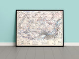
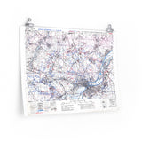
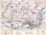
A detailed record of German defensive positions outside Caen.
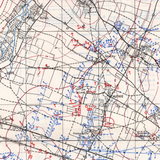
This original defensive overprint map of Caen reveals the network of German fortifications, gun emplacements, and defensive strongpoints surrounding the city in 1944. Used by Canadian and British forces during the planning and execution of the battle for Caen, it provided vital intelligence for attacks aimed at breaching one of the most heavily defended sectors in Normandy.
A powerful visual of the challenges faced by the Allied armies during the bitter fighting for control of Caen — one of the key objectives of the Normandy Campaign.
Product Details:
-
Printed on 175gsm premium fine-art paper
-
Matte finish for an authentic archival appearance
-
Created from high-resolution scans of the original wartime map
-
Displays defensive positions, terrain features, and approach routes
-
Ideal for collectors, historians, educators, and battlefield visitors
-
Ships worldwide in protective packaging
A faithful reproduction of the Caen 25k Defence Overprint, capturing the fortified landscape that Canadian and British soldiers fought through to liberate the city.


