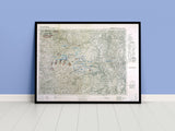
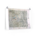
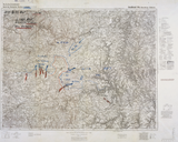
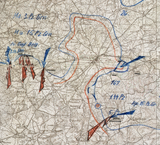
A captured German situation map from the Battle of the Bulge.
This map depicts the area surrounding Bastogne on 2 January 1945, shortly after Allied forces broke the German encirclement that had trapped the 101st Airborne Division. The map is a captured situation map used by the German High Command, showing the positions and movements of forces during the final phase of the German offensive.
The Battle of the Bulge, fought from 16 December 1944 to 25 January 1945, was the last major German offensive on the Western Front. The siege of Bastogne became one of its defining moments — a symbol of Allied endurance in the face of overwhelming odds.
This reproduction preserves the intricate detail of the original map, with German handwriting and operational markings clearly visible. A unique piece of cartographic history that captures the scale and intensity of one of the most famous battles of the Second World War.
Product Details:
-
Printed on 175 gsm premium fine-art paper
-
Matte finish for an authentic archival presentation
-
Created from high-resolution scans of original wartime maps
-
Displays terrain contours, towns, and tactical annotations
-
Ideal for collectors, historians, educators, and battlefield visitors
-
Ships worldwide in protective packaging
A rare reproduction of a German situation map showing the struggle for Bastogne — a powerful reminder of courage, endurance, and victory in the Ardennes.


