The turning point of the Ardennes.
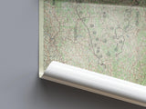
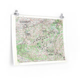
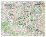
This map illustrates the maximum extent of the German advance during the Battle of the Bulge, the last major offensive on the Western Front. Between 16 December 1944 and 25 January 1945, German forces struck through the Ardennes Forest in a surprise counterattack aimed at splitting the Allied lines and capturing Antwerp.
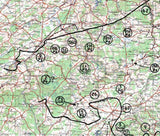
The map clearly traces the limits reached by the German Army before the offensive was halted by determined resistance from American and Allied forces. Marked locations such as Bastogne, Elsenborn, and St. Vith reveal the terrain and scope of the battle that became the costliest engagement fought by U.S. troops in Europe.
This facsimile preserves the cartographic precision and markings of the original wartime map used to track the shifting front lines during this critical winter campaign.
Product Details:
-
Printed on 175 gsm premium fine-art paper
-
Matte finish for an authentic archival look
-
Created from high-resolution digital scans of original wartime maps
-
Shows final limits of the German advance during the Ardennes Offensive
-
Ideal for collectors, historians, educators, and battlefield visitors
-
Ships worldwide in protective packaging
A vivid record of the battle that defined the Allied stand in Europe’s final winter of war.


