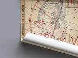
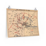
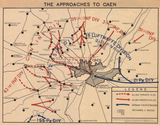
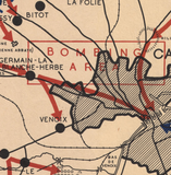
Depicting the Allied and German positions surrounding Caen prior to its liberation.
Created by the Canadian Army Historical Section after the war, this map was produced to accompany the official history of the Victory Campaign in Northwest Europe. Designed to help future generations visualize the battle, it provides a detailed representation of the Allied and German situation around Caen before the city was liberated in July 1944.
Beautifully drawn and meticulously annotated, the map highlights the complexity of operations faced by the Canadian and British armies during the battle for Normandy. It stands as both an educational tool and a lasting visual record of one of the most challenging phases of the campaign.
Product Details:
-
Printed on 175gsm premium fine-art paper
-
Matte finish for an authentic archival appearance
-
Reproduced from high-resolution scans of original postwar maps
-
Shows Allied and German positions around Caen
-
Ideal for collectors, historians, educators, and battlefield visitors
-
Ships worldwide in protective packaging
A striking reproduction of the Canadian Army’s historical map of Caen, capturing the scale and detail of the operations that defined the Normandy campaign.


