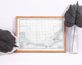
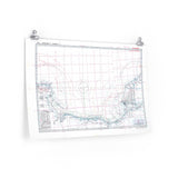
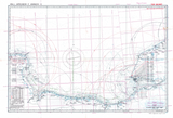
The fortifications that awaited the Allied invasion fleet.
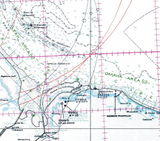
In preparation for the D-Day landings, Allied intelligence compiled this detailed map of German coastal gun positions along the Normandy coastline. The map highlights the calibre, range, and field of fire of each battery, providing an extraordinary visual record of the formidable defences guarding Hitler’s Atlantic Wall.
Used by planners and naval officers before Operation Overlord, the map combines precision and artistry — a striking reminder of the immense planning required for the largest amphibious invasion in history.
Product Details:
-
Printed on 175gsm premium fine-art paper
-
Matte finish for an authentic archival appearance
-
Created from high-resolution scans of the original wartime map
-
Displays gun positions, ranges, and defensive sectors
-
Ideal for collectors, historians, educators, and battlefield visitors
-
Ships worldwide in protective packaging
A faithful reproduction of the Normandy Coastal Gun Map, preserving the detail and tension of the Allied invasion’s opening moments.


